

Why Mapping United States History helps students make connections between history and geography!
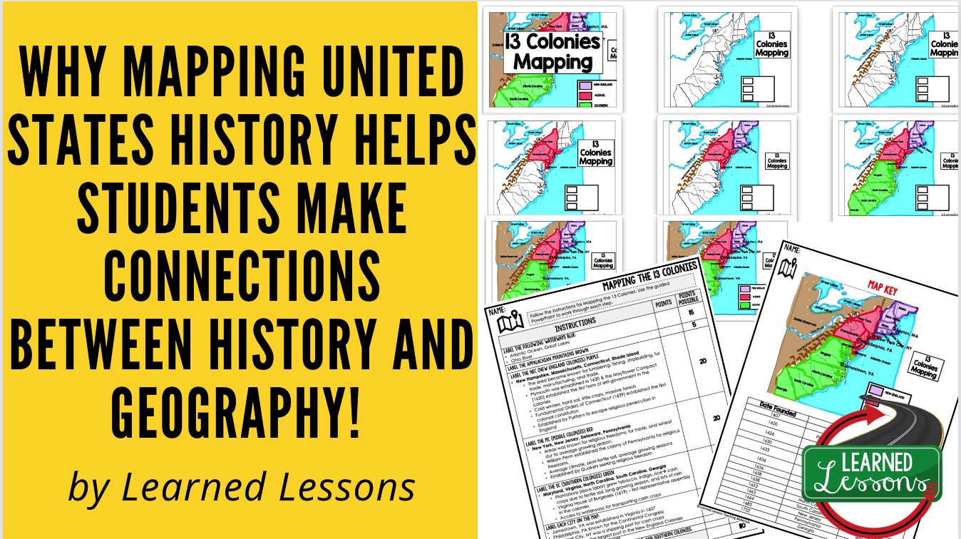
Why Mapping United States History helps students make connections between history and geography!
- Spatial awareness: Mapping historical events on a map helps students develop spatial awareness and understand how geography has influenced the course of history. For example, by looking at a map of the United States, students can see how the geography of the Appalachian Mountains influenced westward expansion in the 19th century.
- Contextual understanding: Mapping helps students understand the context of historical events by placing them in their physical setting. For example, by mapping the routes of Lewis and Clark's expedition, students can see the challenges the explorers faced as they navigated through the vast western territories.
- Interdisciplinary connections: Mapping combines history and geography, making it an interdisciplinary approach to learning. By exploring the connections between geography and historical events, students can also connect their learning to other subjects such as science, economics, and politics.
- Critical thinking: Mapping requires students to analyze historical events and use critical thinking skills to make connections between them. By looking at how events are interconnected spatially, students can develop a deeper understanding of causality and how events have shaped the nation's history.
Research key actions of the U.S. during Early American History and then complete the guided mapping activity. Mapping Early American History in a step-by-step format with a guided PowerPoint for students to use as a reference. This includes rubrics with and without point values, research graphic organizers, map templates, and guided PowerPoint. Research key causes and events leading up the American Revolution, and then complete the guided mapping activity. Also part of Early American History MEGA BUNDLE.
Includes:
- 13 Colonies Map Activity and Research Graphic Organizer, Mapping the 13 Colonies
- Road To Revolution Map Activity and Research, Mapping the Road to Revolution
- French and Indian War Map Activity and Research, Mapping the French and Indian War
- American Revolution Map Activity and Research, Mapping the American Revolution
- War of 1812 Map Activity and Research, Mapping the War of 1812
- Western Expansion Map Activity and Research, Mapping Western Expansion
- Sectionalism Map Activity and Research, Mapping Sectionalism
- The Civil War Map Activity and Research, Mapping The Civil War
- Reconstruction Map Activity and Research, Mapping Reconstruction
- Mapping American History Step-By-Step Mapping with Rubric (with and without point values)
- PowerPoint for Student Reference
- Step-By-Step Mapping and Research Option (with and without point option)
- Research Pages
- AnswerKey
- American History MAP Activity, US HISTORY, AMERICAN HISTORY MAPPING, Graphic Organizer, INTERACTIVE NOTEBOOK (Just print two to a page)


See every Early American History resource in my shop: browse the collection.
Find a year-long curriculum designed for middle and high school classrooms.
- Civics and Government Full Curriculum
- Economics/Free Enterprise Full Curriculum
- US History | American History Colonial to Reconstruction Full Curriculum
- US History | American History Western Frontier to Current Full Curriculum
- World Geography Full Curriculum
- Ancient World History Full Curriculum
- Modern World History Full Curriculum
- English | ELA Activity Bundle
- Physical Science Full Curriculum | NGSS
- Life Science Full Curriculum | NGSS
- Earth Science Full Curriculum | NGSS
- College & Career Resources
- Administrator and Teacher Professional Development
More Resources from Learned Lessons Teaching Materials
✔ Guided Notes & PowerPoints
✔ Bell Ringers & Warm-Ups
✔ Escape Rooms
✔ Word Walls
✔ Choice Boards
✔ Collaborative Posters
✔ DBQs
✔ Mapping Activities
✔ Assessments
✔ Digital Google Classroom Resources
Stay Connected
🛍️ Shop TpT or 🛍️ Memberships Site
✉️ Email Updates
📸 Instagram
📌 Pinterest
📘 Facebook
🎵 TikTok
📝 Blog
✉️ learnedlessonstpt@gmail.com
Teaching Made Easier.
Learning Made Meaningful.
Print • Digital • Google Classroom • No Prep


